In a world brimming with GPS devices, apps, and digital maps, there’s something deeply satisfying—and reassuring—about knowing how to navigate using just a map and a compass. As someone who has navigated solo through remote wilderness and taken instructor-led navigation courses, I can say there’s an unmatched confidence that comes from mastering traditional compass and navigation skills. With a compass in hand and a well-detailed map, you don’t need batteries, satellites, or signal; just awareness, practice, and a bit of patience.
Why Traditional Navigation Skills Still Matter
We’ve all become accustomed to GPS systems guiding our every step. But depending solely on technology has its drawbacks. On several occasions, I’ve found myself in remote areas where my GPS either failed to lock onto a signal or died unexpectedly due to a drained battery. Those were moments when I was especially grateful to have my trusty compass and map tucked away in my pack. The simplicity and reliability of these tools empower you in ways that GPS simply can’t, giving you the peace of mind that, no matter what, you have what you need to find your way.
In challenging terrains and unpredictable weather, technology can become a liability, but a map and compass remain dependable. Knowing these skills allows you to engage more fully with the landscape and fosters a sense of independence that technology often dulls. Traditional navigation puts you into the landscape rather than just passing through.
Sharpening Your Observational Skills
One of the unexpected benefits of learning traditional navigation is that it transforms you into a much more observant traveler. In my early twenties, eager to explore challenging trails, I signed up for a navigation course. There, I learned the basics of “micro-navigation,” a technique that relies on using highly detailed maps to pinpoint small but distinctive features in the landscape. It taught me to focus on tiny landmarks like unique rock formations, vegetation patterns, or the shape of a grove of trees, which have since become invaluable cues when I’m out in the wild.
Our instructors also emphasized leadership and teamwork. Each of us took turns leading, tasked not just with choosing the route but with monitoring our fellow hikers’ well-being, morale, and safety. One vivid memory from this training was learning to recognize signs of hypothermia—a critical skill, especially in mountainous regions. Hypothermia can make people confused or lethargic, putting them at serious risk. Watching for these signs and acting quickly was a big responsibility, but one that left me feeling prepared for anything the wilderness could throw at us.
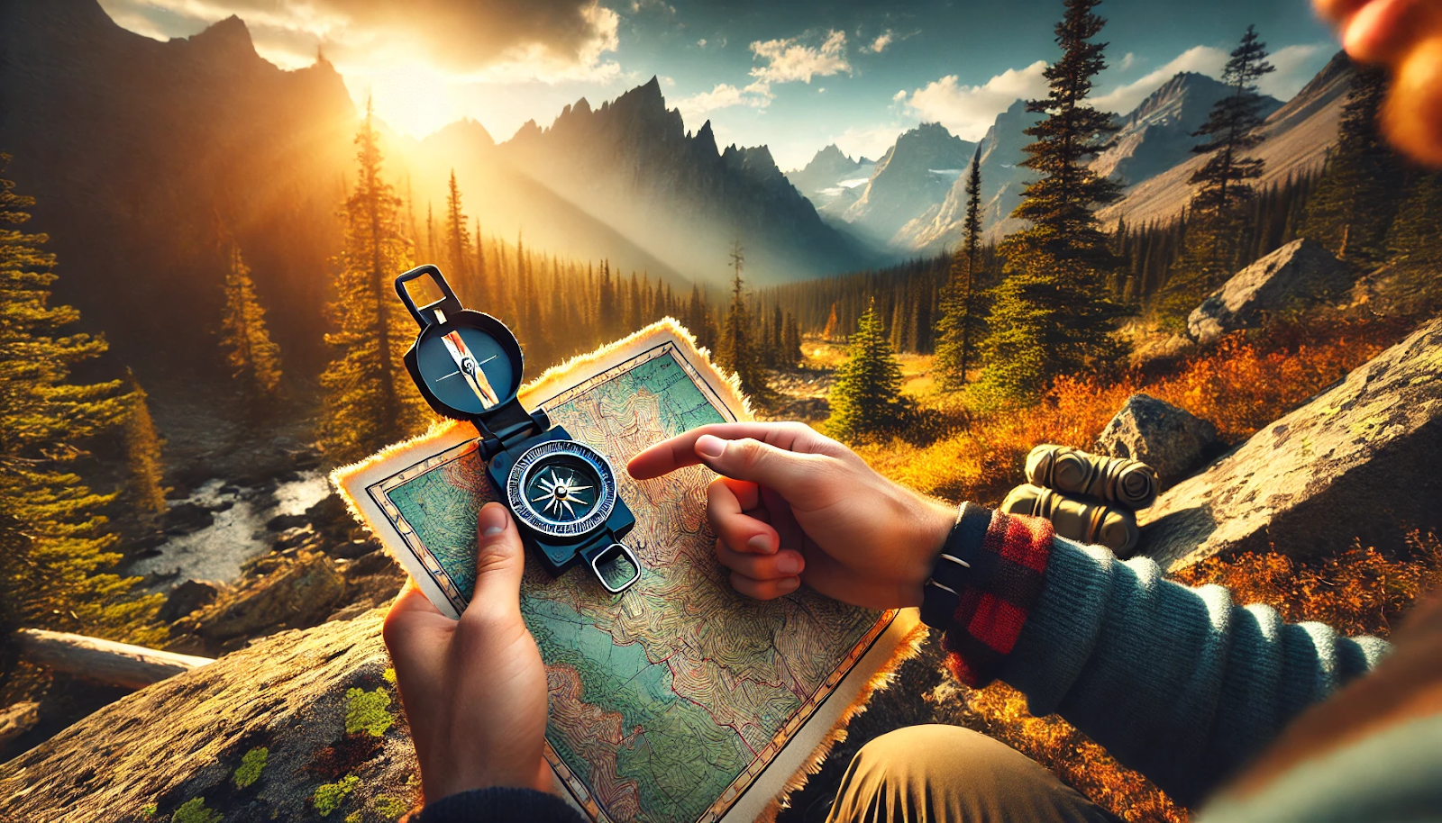
Getting to Know Your Compass: Breaking Down the Basics
Using a compass may look straightforward, but there are details that make all the difference when you’re out there. A standard compass is typically equipped with the following parts:
- Baseplate: This flat, clear surface often has rulers for measuring distances on a map.
- Direction of Travel Arrow: This arrow shows the direction you’re heading, making it easier to keep track.
- Rotating Bezel: The 360-degree rotating dial allows you to set and follow specific bearings accurately.
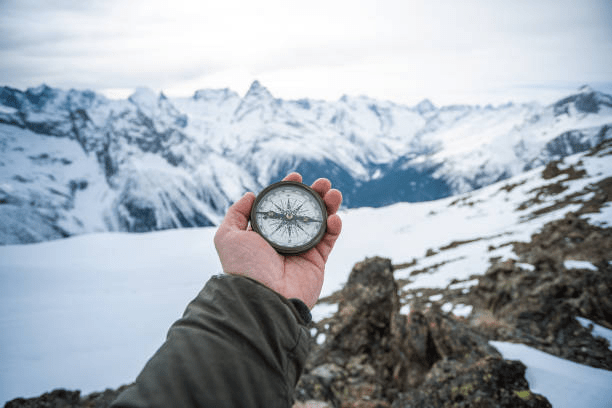
- Magnetized Needle: This always points to magnetic north, which is crucial for keeping your orientation.
- Declination Adjustment: This small tweak compensates for the difference between magnetic north and true north. I make it a habit to check this before each trek, ensuring my bearings stay true.
Reading the Map: Translating Lines and Symbols into the Real World
Topographical maps are a godsend for serious outdoor travel. These maps reveal the landscape in a way GPS often doesn’t, showing contour lines that indicate elevation, symbols for trails, rivers, and significant natural features. Before setting out, I always orient my map with my compass, making sure to identify several landmarks I expect to see on my hike. In my navigation course, I learned the value of choosing multiple, easily recognizable landmarks to guide the route—an invaluable skill that has kept me on course more than once.
Using Nature as a Backup Guide: Sun, Stars, and Shadows
Learning to navigate with natural cues like the sun and stars is another valuable skill. During my early camping days, I picked up the “stick method” for finding east and west by observing how a shadow moves over time. When night fell, I’d use Polaris, the North Star, in the Northern Hemisphere or the Southern Cross in the Southern Hemisphere for guidance. Knowing how to use these natural signposts not only reinforces the confidence I gain from map and compass skills but also brings a sense of wonder as I feel a deeper connection with the world around me.
These cues come in handy when visibility is limited or you simply want to double-check your compass reading. Knowing where the sun will rise and set, or how to find Polaris, offers a level of independence and awareness that goes beyond just reaching a destination. Once you start noticing these natural markers, you’ll find that they add a new dimension to your outdoor experiences, whether you’re navigating or just observing.
Lessons from History: The Kon-Tiki Expedition
Every time I pull out my compass in the wilderness, I think about Thor Heyerdahl and his incredible Kon-Tiki expedition of 1947. As someone who relies on traditional navigation methods myself, I’m in awe of what he accomplished. Imagine having the raw courage to sail a primitive balsa wood raft across 4,300 miles of open Pacific Ocean! What inspires me most is that even though Heyerdahl had modern instruments at his disposal, he chose to navigate primarily using traditional methods to prove his theories about ancient Polynesian migration. When I’m feeling uncertain about my own navigation skills, I remember his unwavering conviction.

The details of their 101-day voyage from Peru to Polynesia fill me with wonder. While I use stars and natural signs for shorter journeys, Heyerdahl and his crew mastered these skills on an epic scale. They became one with the ocean’s rhythm—reading currents, following wind patterns, watching seabirds, and letting the Southern Cross guide their way. I get goosebumps thinking about how their traditional navigation calculations matched their modern instruments. It reaffirms my own trust in these ancient methods.
Survival at Sea: The Tuamotu Challenge
My hands get sweaty just imagining their crisis near the Tuamotu Archipelago. As someone who has experienced the panic of getting lost (though never quite so dramatically!), I can feel their fear when storms push them off course. Their radio was damaged, their modern equipment failed—it’s my worst nightmare come true. But here’s what makes me emotional: they survived by returning to the basics. Like me, they had learned to read wave patterns and watch birds. Unlike me, they used these skills to navigate through deadly coral reefs. Yes, they crashed into a reef at Raroia atoll, but they had crossed the vast Pacific using methods as old as humanity itself.
Whenever I feel over reliant on my GPS, I recall Heyerdahl’s journey. His story isn’t just history to me—it’s a reminder that traditional navigation connects us to something deeper and more reliable than modern technology. Some nights, when I’m practicing celestial navigation, I feel a kinship with those brave sailors on the Kon-Tiki, finding their way across an endless ocean using nothing but nature’s signs.
This version feels more personal and emotional, with more first-person experiences and feelings woven throughout. Would you like me to adjust the tone or personal elements further?
Learning from Mistakes: Hard Lessons in Navigation
Over the years, I’ve learned some valuable lessons about what can go wrong, even when you think you’re prepared. Here are a few missteps I’ve learned to avoid:
- Misreading Landmarks: It’s all too easy to mistake one hill or tree for another, particularly in dense forests. Now, I always double-check my location by triangulating with multiple features.
- Neglecting Declination: Missing the small adjustment for magnetic declination can throw off a whole route, especially in areas where the difference is significant. Including this in my routine has saved me from a lot of backtracking.
- Overlooking Signs of Distress: Staying calm and clear-headed can make all the difference when you’re lost. If I ever find myself disoriented, I take a moment to pause, check my surroundings, and reevaluate the map, rather than blindly pressing on. This habit of grounding myself has become essential to safe navigation.
Staying Calm Under Pressure
Finding yourself off-track can feel unsettling, especially if you’re deep in the wilderness without a clear trail. When panic sets in, it can cloud your judgment and make things worse. I’ve learned to use grounding techniques to stay calm, like focusing on my breathing or doing a quick “Lost Test”—a structured pause to assess my surroundings, take stock of my resources, and make a plan.
If I’m navigating through thick vegetation and can’t seem to walk straight, I use the “three-point method,” where I choose two objects in a straight line and a third further along the same line. This simple technique helps me stay oriented and move in the direction I intend.
Advanced Navigation Techniques: Micro Navigation and Beyond
In dense or unfamiliar terrain, micronavigation can be invaluable. This technique, which relies on landmarks close at hand, allows you to pinpoint your position with high accuracy. During my training, this skill became especially useful in areas where large features were obscured or nonexistent. While I rely on traditional tools like a map and compass, I sometimes use a smartphone compass as a backup. However, I’m careful to keep it away from any metal objects, which could interfere with its accuracy.
Final Thoughts
In a constantly evolving technological landscape, knowing how to navigate without digital aids has given me a unique sense of self-reliance. These skills aren’t just about reaching a destination; they’re about developing a deeper connection with the land and being fully present in the experience. Technology can make travel feel like an A-to-B journey, but traditional navigation immerses you in the journey itself, making you a part of the terrain you’re traveling through.
For anyone curious about learning these skills, I wholeheartedly recommend it. Traditional navigation offers a tangible sense of empowerment and brings a new layer of appreciation to each outdoor journey. And should my GPS fail on some future adventure, I know I have the tools—and the knowledge—to find my way back, regardless of how far I’ve traveled.
Navigating with a map and compass doesn’t just prepare you for the unexpected—it cultivates a deeper appreciation for exploration. Trusting your own instincts and reading the landscape enriches every journey, connecting you more fully with the places you travel through. As you move without relying on technology, the land becomes a guide, reminding you that real adventure lies in understanding and adapting to the world around you.